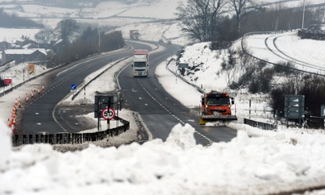
Climate scientists have linked the massive snowstorms and bitter spring weather now being experienced across Britain and large parts of Europe and North America to the dramatic loss of Arctic sea ice.
Both the extent and the volume of the sea ice that forms and melts each year in the Arctic Ocean fell to an historic low last autumn, and satellite records published on Monday by the National Snow and Ice Data Centre (NSIDC) in Boulder, Colorado, show the ice extent is close to the minimum recorded for this time of year.
"The sea ice is going rapidly. It's 80% less than it was just 30 years ago. There has been a dramatic loss. This is a symptom of global warming and it contributes to enhanced warming of the Arctic," said Jennifer Francis, research professor with the Rutgers Institute of Coastal and Marine Science.
According to Francis and a growing body of other researchers, the Arctic ice loss adds heat to the ocean and atmosphere which shifts the position of the jet stream – the high-altitude river of air that steers storm systems and governs most weather in northern hemisphere.
"This is what is affecting the jet stream and leading to the extreme weather we are seeing in mid-latitudes," she said. "It allows the cold air from the Arctic to plunge much further south. The pattern can be slow to change because the [southern] wave of the jet stream is getting bigger. It's now at a near record position, so whatever weather you have now is going to stick around," she said.
Francis linked the Arctic temperature rises to extreme weather in mid latitudes last year and warned in Septemberthat 2012's record sea ice melt could lead to a cold winter in the UK and northern Europe.
She was backed by Vladimir Petoukhov, professor of Earth system analysis at Potsdam Institute in Germany, whose research suggests the loss of ice this year could be changing the direction of the jet stream.
"The ice was at a record low last year and is now exceptionally low in some parts of the Arctic like the Labrador and Greenland seas. This could be one reason why anticyclones are developing," he said.
The heavy snowfall and freezing temperatures which have marked March 2013 across the northern hemisphere are in stark contrast to March 2012 when many countries experienced their warmest ever springs. The hypothesis that wind patterns are being changed because melting Arctic sea ice has exposed huge swaths of normally frozen ocean to the atmosphere would explain both the extremes of heat and cold, say the scientists.
A recent paper by the US government's National Oceanic and Atmospheric Administration (NOAA) also found that enhanced warming of the Arctic influenced weather across the northern hemisphere.
"With more solar energy going into the Arctic Ocean because of lost ice, there is reason to expect more extreme weather events, such as heavy snowfall, heat waves, and flooding in North America and Europe," said the researchers.
The Met Office's chief scientist has previously said the melting Arctic ice is in part responsible for the UK's recent colder winters.
The possible links between Arctic sea ice loss and extreme weather were made as the UK's government's outgoing chief scientific adviser Sir John Beddington warned that the world could expect more extremes of weather. More

